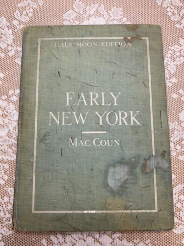
Description
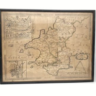
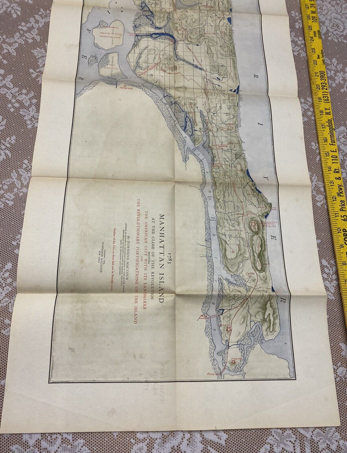
This exceptional portfolio of New York maps, published by Townsend MacCoun, features a series of maps that chronicle the evolution of Manhattan and the Hudson River. Starting from the time of discovery, the collection includes maps from the periods of Dutch and English control, culminating with a map of New York at the end of the Revolutionary War in 1783. These maps vividly illustrate the city’s development over 150 years. The collection is housed in a blue cloth, hardcover portfolio, with the maps neatly folding into two attached sleeves.
A. 1609 The Island of Manhattan at the Time of Its Discovery (47.5″ x 12.3″). The present-day streets and shoreline are located on the map, and Indian tribes are shown in red.
B. 1609 The Hudson River at the Time of Its Discovery (6.8″ x 31.5″). Shows the progress of Henry Hudson’s journey up the river and names numerous Indian tribes.
C. 1653-1664 Amsterdam in New Netherland (13″ x 19.8″). Shows early buildings and street development and a number of prominent landowners are noted.
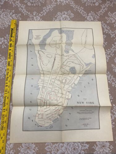
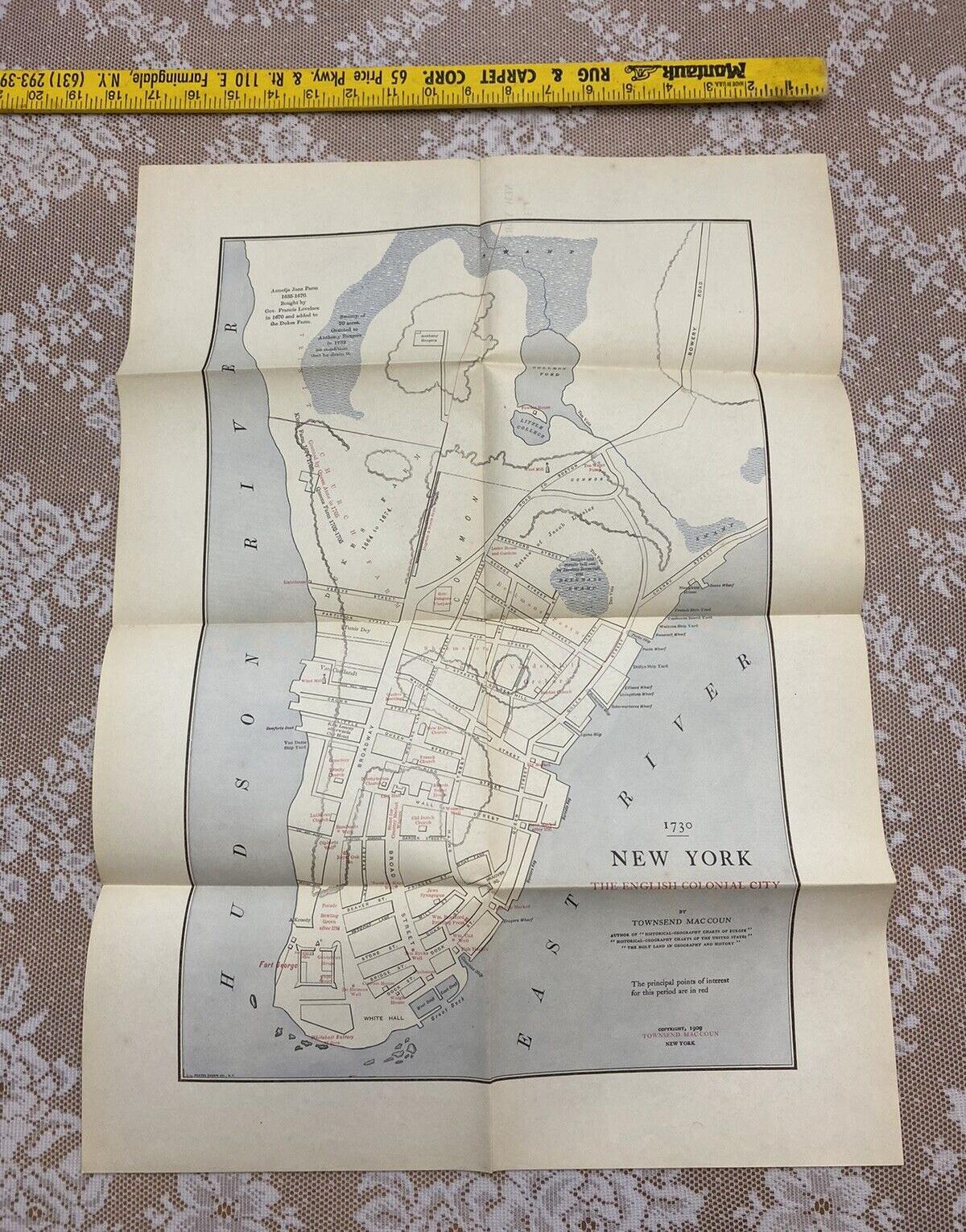
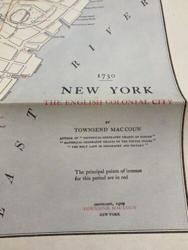
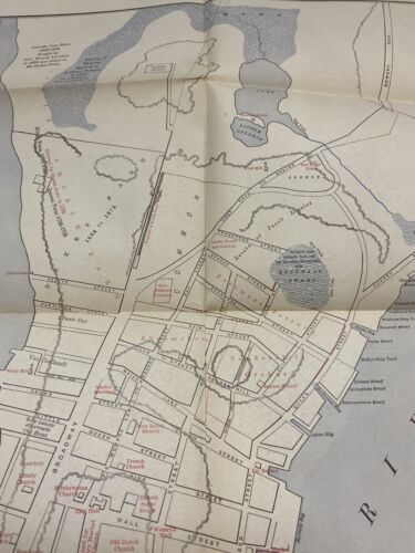
D. 1730 New York (13″ x 19.8″). Labels important locations in red with continued street development shown, especially on the southern section of the island.
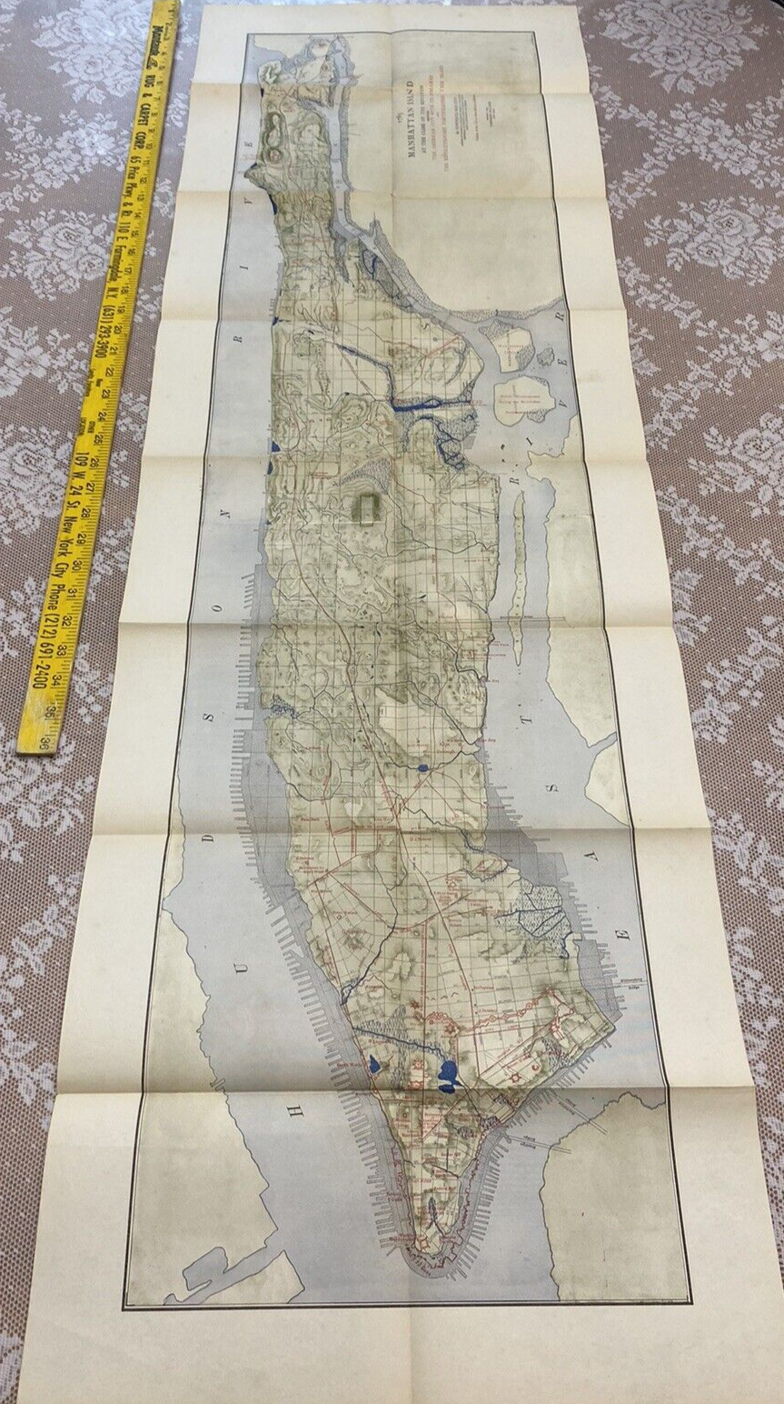
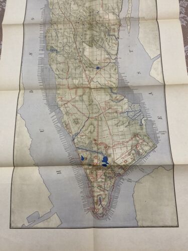
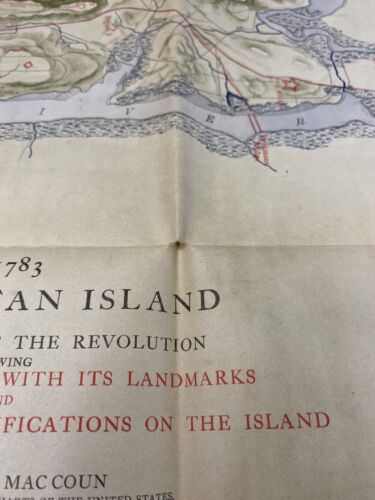
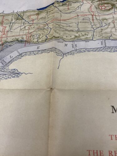
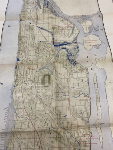
E. 1783 Manhattan Island at the Close of the Revolution (47.8″ x 12.3″). The city boundaries and streets are shown in red, with the present-day streets and shoreline displayed in black.
Please see the photos, ask any questions you may have.